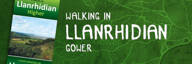
Explore Llanrhidian by foot with these 3 walking routes.
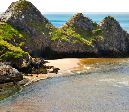
The Community of Llanrhidian Higher is made up of the villages of Crofty, Llanmorlais, Penclawdd, Three Crosses and Blue Anchor. With over 38 kilometres of public rights of way through ancient woodland, and across farmland, commons and salt marsh, the varied walking in the area can lead to some beautiful and unexpected views.
Download the route map to learn more about the 12 locations of historical interest and wildlife you may encounter along the way.
Distance: 3.5 km or 2.25 miles
Estimated time: 50 minutes
Distance: 2.5 km or 1.5 miles
Estimated time: 50 minutes
Distance: 7.5 km or 4.6 miles
Estimated time: 2 hours
Please note: mobile phone coverage is generally good along these walks, but reception can be poor in valley bottoms. The weather is changeable, so you may need waterproofs and stout footwear.
Swansea Council Countryside Access team
# 01792 635746 or 01792 635230
@ countrysideaccess@swansea.gov.uk
i www.swansea.gov.uk/countrysideaccess
Further links
i swanseabaywithoutacar.co.uk
i www.traveline-cymru.org.uk
With nearly 400 miles’ worth of rights of way, Swansea Bay offers many memorable walking routes, from short family trips, taking in many of the small churches and landmarks in the area, to routes for the more experienced, with breathtaking views of the Gower Peninsula. Find out more: