The Gower Way
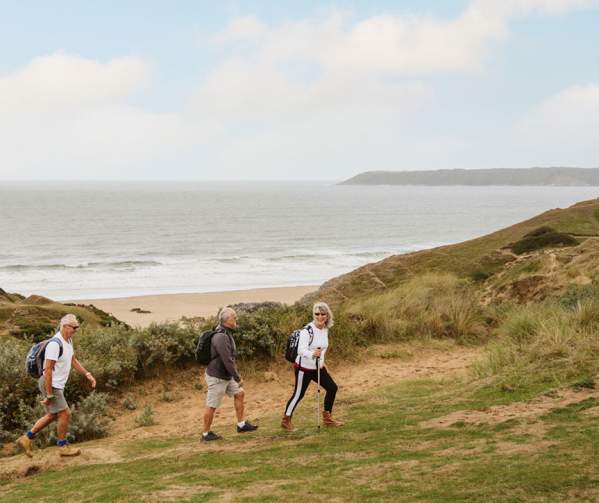
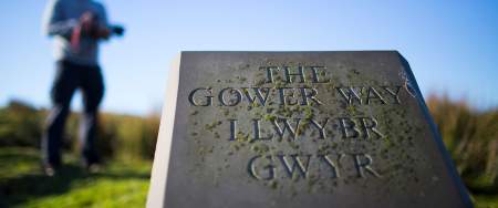
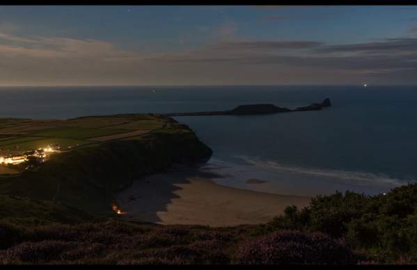
Inaugurated by the Prince of Wales in 1998, the Gower Way runs 35 miles (56km) from Rhossili at the extreme south-west of the Gower Peninsula, through to Penlle’r Castell in upland Mawr (this is a cross-section of the area covered by the ancient lordship of Gower).
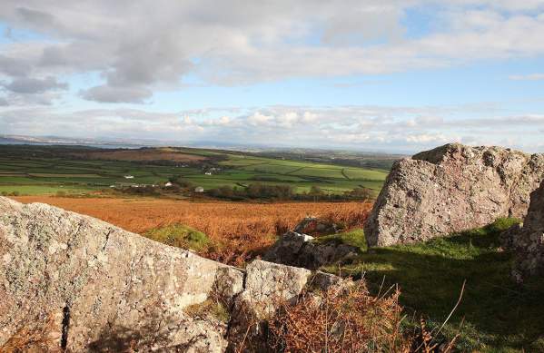
Thanks to Gower’s long history of settlement, the route will take you past a variety of impressive historical sites, from ancient cairns and standing stones (including Arthur’s Stone, a Neolithic burial monument) and fortifications, to old consecrated wells, Norman castles and chapels.
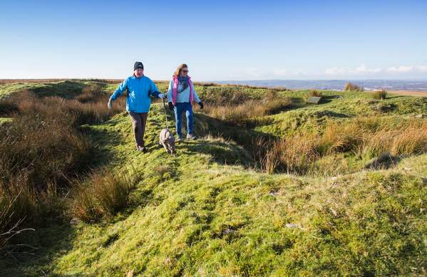
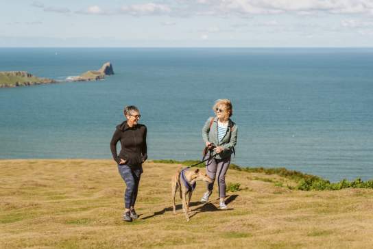
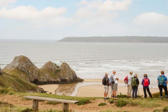
Gower’s varied geology and natural environment also ensures that the route, although relatively short for a long distance path, travels through an extraordinarily diverse range of scenery, from the spectacular beach at Rhossili, over weathered limestone plateaux and rolling farmland, to the wilder uplands and heath of the Mynydd y Gwair hills.

The Gower Pilgrimage Way
The Gower Pilgrimage Way is a 50-mile long route that links all 17 historic churches in Gower and includes several chapels and other Christian sacred sites along the way.
Gower Way Walking Routes
The route can be broken up into three sections, as follows:
South (Rhossili – Penmaen): approx. 8 miles (13km)
Middle (Penmaen – Gowerton): approx. 12 miles (19km)
North (Gowerton – Penlle’r Castell): approx. 15 miles (24km)
Maps required: Ordnance Survey Explorer 10, 164, 165
Rhossili to Penmaen - The Gower Way (Southern Sector)
Discover the stunning Gower Peninsula as you make your way from Rhossili to Penmaen…
Penmaen to Gowerton - The Gower Way (Mid Sector)
Discover rural Gower as you make your way from Penmaen to Gowerton along The Gower…
Gowerton to Penlle'r Castell - The Gower Way (Northern Sector)
This is the longest section of the Gower Way, It’s a relatively long walk, best…
You may also like
Wellbeing
It’s always important to look after yourself, to make the most of the outdoors and find time…
Dog Friendly Things to Do
Swansea is filled with dog friendly things to do, so your four legged friends won’t miss out…
Things to Do Outdoors
It’s not all surfing, SUPing, coasteering and kayaking in Swansea Bay and Gower...
Places to Stay
No matter what you're looking for in a place to stay, Swansea Bay has accommodation for all…
Walking Routes
Home to 400 miles worth of rights of way and the first path to wrap around the coastal border of an entire nation (one of the highlights being the Gower & Swansea Bay section – naturally)! We have walks to suit all ages, abilities and fitness levels.
